New tools for GIS automation and a 5 star rating from over 40,000 downloads
2020 was another major year for continued development of TUFLOW’s GIS Plugins / add-ins for ESRI’s GIS platforms, MapInfo and QGIS. It also saw numerous useful updates to the TUFLOW pre and post-processing utilities.
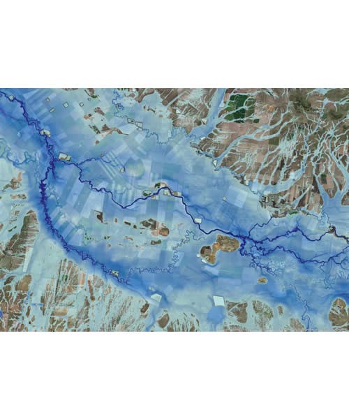
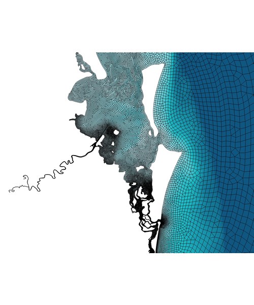
Significant new features have been added to the TUFLOW QGIS Plugin to support complete TUFLOW FV flexible mesh model build and result viewing within a single GIS environment. Numerous TUFLOW FV model build automation features were added. Powerful 3D NetCDF and Lagrangian particle output visualisation and post processing tools were also released. These include:
Updates relating to TUFLOW Classic/ HPC were also incorporated into the TUFLOW QGIS Plugin. The plugin supports the most recent Australian Rainfall & Runoff 2019 (ARR 2019) datahub and UK RefH2 updates. The ARR 2019 updates provide the user with increased control options, such as the choice to use probability neutral burst initial losses, increased control of the pre-burst temporal pattern assumptions, options to use complete storm hyetographs instead of being limited to using burst hydrology. Automatic download and application of aerial temporal patterns are now supported.
A beta version of new QGIS tool for generating hydrographs using New Zealand's industry approach is being tested by NZ users and will be formally released during 2021.
New for 2020 we have released a free add-in for ArcPro. The new add-in ports many of the popular tools from the ArcMap and QGIS plugins to the ArcPro environment. It also includes the above mentioned QGIS plugin ARR 2019 tool. A similar major platform release was also published for MapInfo. As a result, miTools is now available in both 32bit and 64bit formats.
The industry guideline changes associated with ARR 2016 and 2019 recently necessitated the update of all hydrology models with an Australian origin; namely RAFTS, RORB, URBS and WBNM. Convert_to_TS1 is a useful free utility used for the efficient processing of hydrology results from the above-mentioned hydrology programs into a TUFLOW friendly format. The utility has been updated to accommodate for the recent release updates from the respective hydrology modelling software.
The utility ASC_to_ASC was updated to include a new High Resolution Remap function. This tool is used to remap results written at the cell calculation resolution to a finer resolution, typically matching that of the underlying DEM dataset, and is particularly useful if using the amazing new Sub-Grid Sampling (SGS) feature in TUFLOW HPC 2020. Due to the success of this new utility feature, we are currently working on incorporating a similar function directly into the engine for the next major TUFLOW HPC release.
2020 was certainly a big year for all the TUFLOW GIS tools, and planning for 2021 is looking equally impressive. Whilst we have development plans in action, we always welcome user feedback and suggestions. If you have any GIS tool suggestions that would help improve your modelling or analysis efficiency please let us know by emailing support@tuflow.com.
From Ellis Symons and the TUFLOW GIS Integration Team - enjoy the break and all the best for 2021.